-
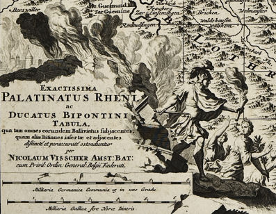
I have created an interactive map of the Rhine Valley, showing what it was like during Andreas Schropp's life. I have used sources in the public domain.
-
The base map is : " Palatinatus Rheni "from 1690.
-
The etchings of the villages are from " Palatinatus Rheni "from 1645, by Matthäus Merian the Elder.
-
I have created "hot spots" in red, on the map that can be clicked on to bring up an etching of that particular village.
-
Oberöwisheim is labeled on the map by its old, shorter name of "Owesheim", with the " s " looking like an " f ".
-
While there is not an etching, I show a village plan from 1650 and a plan of the old castle from 1740.
-
The map is BIG. It is also 2 megabytes to download, so be patient.
-
On your screen will be the Upper Left of the map. Oberöwishem is in the Lower Right.
-
This works best with Mozilla Firefox.
-
Click on the map below to go there
 |
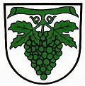
Oberöwisheim
village coat of arms |
 |
|---|